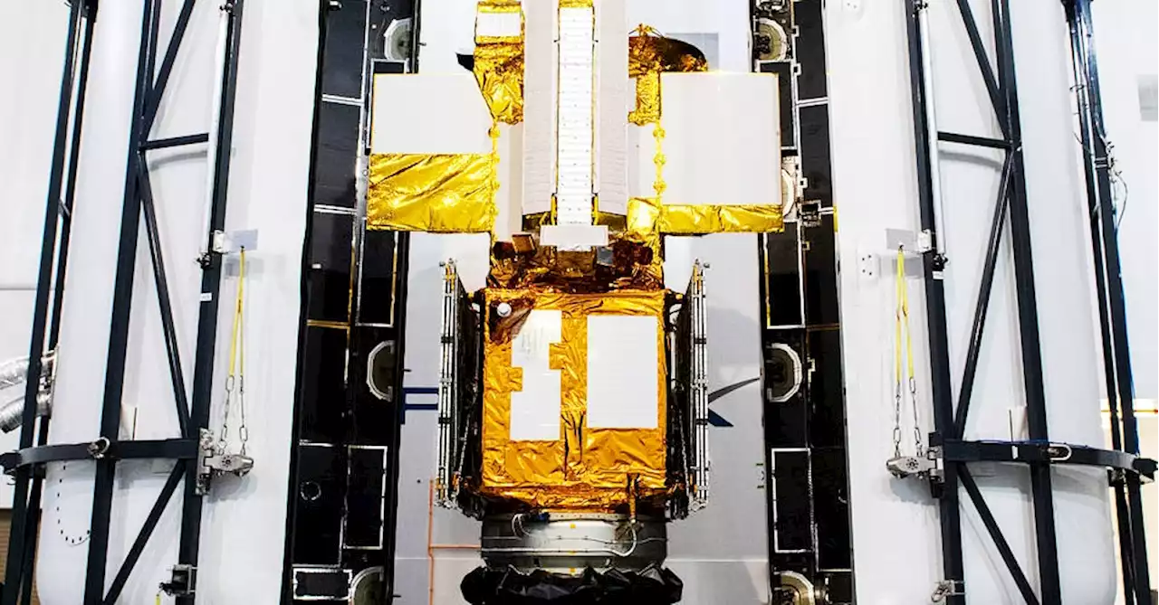
Early Friday morning, NASA and its international partners plan to launch the Surface Water and Ocean Topography (SWOT) satellite from the Vandenberg Space Force Base in California to scan the world’s water.
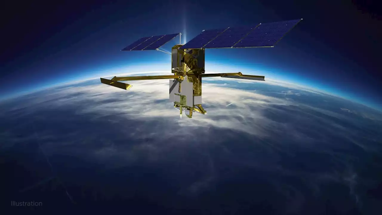
SWOT could turn out to be a major improvement over measurements by previous satellites. “Instead of a ‘pencil beam’ moving along the Earth’s surface from a satellite, it’s a wide swath. It’ll provide a lot more information, a lot more spatial resolution, and hopefully better coverage up close to the coasts,” says Steve Nerem, a University of Colorado scientist who uses satellite data to study sea-level rise and is not involved with SWOT.
SWOT has other instruments in its toolkit too, including a radar altimeter to fill in the gaps between the swaths of data KaRIn collects, a microwave radiometer to measure the amount of water vapor between SWOT and the Earth’s surface, and an array of mirrors for laser-tracking measurements from the ground.
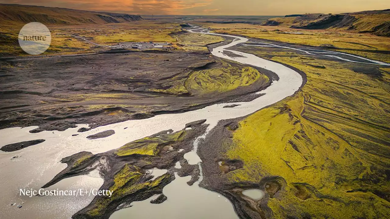
New satellite data is important because the future of sea-level rise, floods, and droughts may be worse than some experts previously forecast. “Within our satellite record, we’ve seen sea-level rise along US coastlines going up fast over the past three decades,” says Ben Hamlington, a sea-level rise scientist at JPL on the SWOT science team. The rate of sea-level rise is in fact accelerating, especially on the Gulf Coast and East Coast of the United States.
México Últimas Noticias, México Titulares
Similar News:También puedes leer noticias similares a ésta que hemos recopilado de otras fuentes de noticias.
 Billion-dollar NASA satellite will track Earth’s waterSWOT satellite will bounce radar off water bodies to give scientists a new window into climate change and the global water cycle.
Leer más »
 Rocket issue delays SpaceX launch of NASA water-watching satellite to FridayThe company wants more time to investigate moisture in two of its Falcon 9 rocket's nine first-stage Merlin engines.
Leer más »
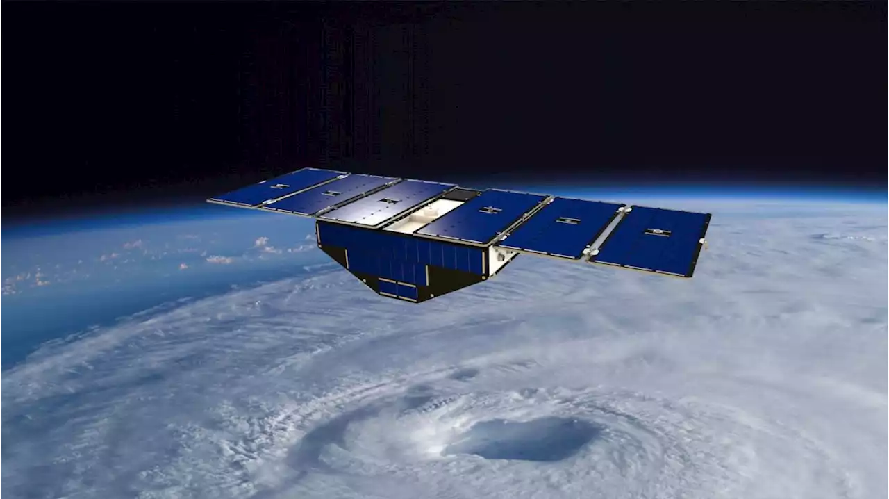 NASA has lost communications with a hurricane-watching satelliteRobert Lea is a science journalist in the U.K. whose articles have been published in Physics World, New Scientist, Astronomy Magazine, All About Space, Newsweek and ZME Science. He also writes about science communication for Elsevier and the European Journal of Physics. Rob holds a bachelor of science degree in physics and astronomy from the U.K.’s Open University. Follow him on Twitter sciencef1rst.
Leer más »
 NASA's new SWOT satellite to study Earth's water from space a 'game changer' for understanding climate changeThe multi-agency mission launches Thursday (Dec. 15).
Leer más »
Surface Water and Ocean Topography (SWOT)
Leer más »