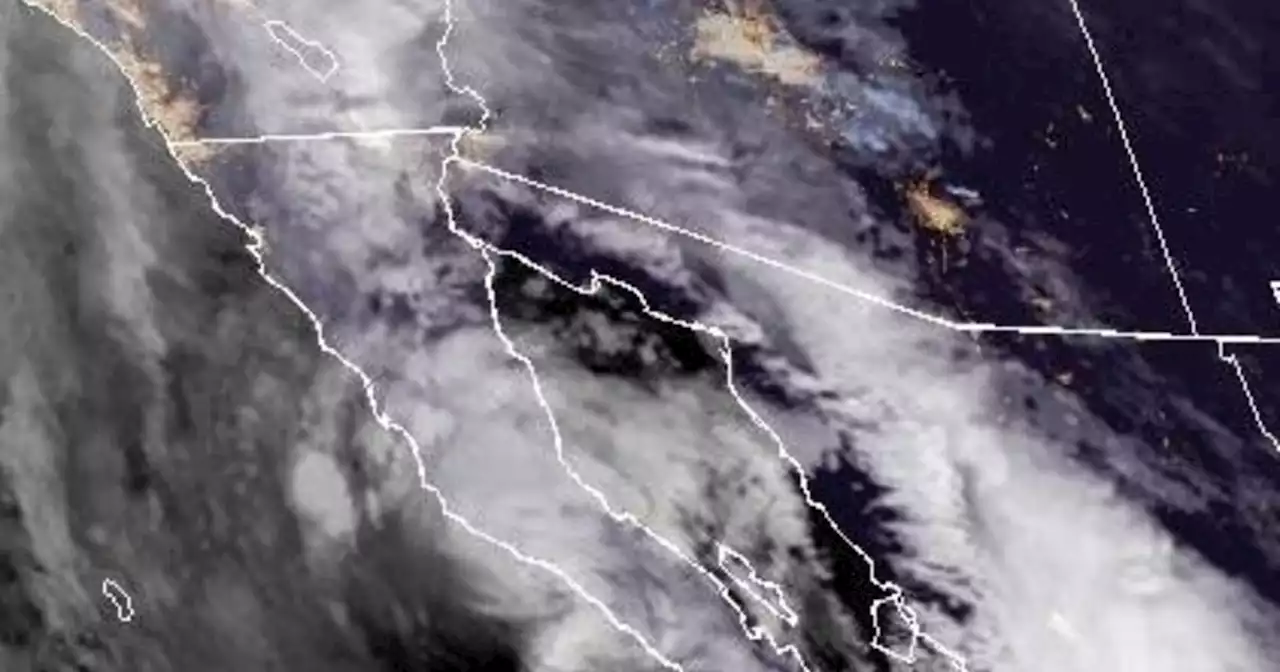
Many parts of the region received more than 2.5 inches of rain over the weekend, with some areas recording more than 9 inches total.
This map shows some of the bigger rain totals from Tropical Storm Hilary in various Southern California cities during the 48 hours, starting Saturday, Aug. 19 at 8 a.m.
The National Weather Service provides a weather and hazards data viewer that displays the amount of rain that has fallen during a specified time period. The map here shows places that experienced at least 2.5″ of precipitation., which is set to show rainfall totals in Southern California over the last 48 hours.
México Últimas Noticias, México Titulares
Similar News:También puedes leer noticias similares a ésta que hemos recopilado de otras fuentes de noticias.
 Interactive map: Risk of Tropical Storm Hilary flash flooding in Southern CaliforniaSee the flood potential in your area due to Tropical Storm Hilary, with data the National Weather Service calls its “best attempt to forecast flash flooding.”
Leer más »
 Map shows how much rain fell in Southern California during Tropical Storm HilaryMany parts of the region received more than 3 inches of rain over the weekend, with some areas recording more than 9 inches total.
Leer más »
 Hilary nears Mexico's Baja California peninsula as Southern California braces for impactCalifornia Gov. Gavin Newsom has issued a state of emergency for all of Southern California.
Leer más »
 Hilary makes landfall in Mexico's Baja California peninsula as rain begins in Southern CaliforniaIn its latest bulletin on Sunday, the National Hurricane Center said the storm was located about 220 miles south of San Diego, California.
Leer más »
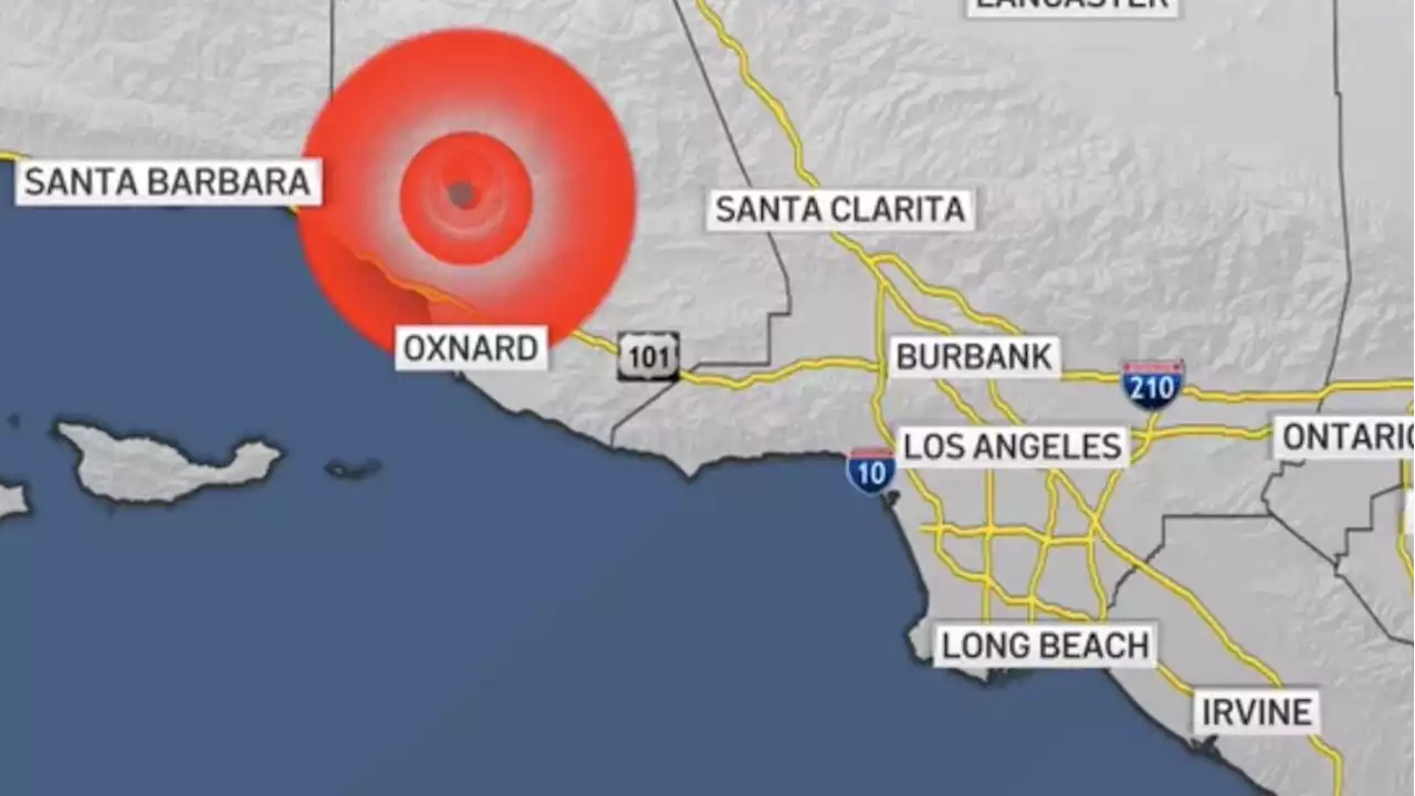
 Magnitude-5.1 earthquake shakes parts of Southern CaliforniaA magnitude-5.0 earthquake centered in Ventura County rattled parts of Southern California Sunday.
Leer más »
