The Deepest Known Canyon in the Solar System, Seen From Space - by spacewriter
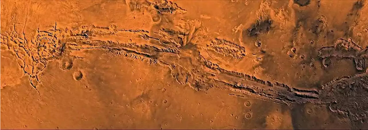
This mapped image shows the regions of Ius and Tithonium Chasmata, which Mars Express imaged. These two areas form part of Mars’s Valles Marineris canyon structure. The area outlined by the bold white box indicates the area imaged by the Mars Express High Resolution Stereo Camera on 21 April 2022 during orbit 23123. Courtesy, Mars Express/NASA/MGS/MOLA Science Team
At the top of Tithonium, there are deposits of dark material that could be windblown volcanic sand from the west. After you clear those, you cross a couple of 3,000-meter-tall mountains that have been eroded by the Martian winds. The descent continues through areas that may once have been flooded with some sort of liquid. And, of course, there are landslide areas and other rough terrains to get through before you reach the bottom.
For now, however, science is the primary reason for exploration. Both these canyons offer clues to Mars’s geological past, showing evidence of tectonic activity, volcanism, and wind erosion and deposition. Those processes result in the giant “rifts” splitting the surface. They also deposit sands across the surface, and create layered rock deposits.If hiking canyons isn’t your thing, there’s always Olympus Mons to consider.